(Jurassic Coast), Dorset
The following books cover the geology, landforms and wildlife of this World Heritage Coast
The Official Guide to the JURASSIC COAST; a walk through time. 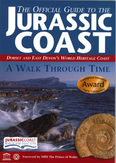
Edited by Denys Brunsden Jurassic Coast Trust £4.95 ISBN 978-0-9544845-0-7
64 pages (A5). 150 images. This guide to the Jurassic coast is a comprehensive companion for anyone visiting this coast and is endorsed by the World heritage Site team. It includes the rocks, fossils and features that make it a place of global importance. It introduces the key places along the coast and suggests activities to help you explore the area and make the most of the 185 million years of the history of the Earth that is laid out in 95 miles of stunning coastline. There is guidance on fossil collecting, an explanation for the coastal evolution of the coast and a large fold-out map for exploration.
THE JURASSIC COAST an aerial journey through time Peter Sills and Robert 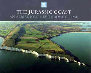 Westwood with a forward by Denys Brunsden.
Jurassic Coast Trust. 2011.
ISBN 978-1-907701-02-3 126 pages £9.95
59 full-page (220 x 220mm) of stunning colour plates of the coast from the air, supplemented by an equal number of pages of illustrations, maps, diagrams and text explaining each of the landscape viewed on the facing page. A glorious celebration of 185 million years of Earth history.
OUT OF STOCK
(Jurassic Coast) Includes Dorset and South-east Devon
GEOLOGY OF THE JURASSIC COAST (THE RED COAST REVEALED) - Exmouth to Lyme Regis - Exmouth to Lyme Regis. Richard A Edwards. ISBN 978-0-9544845-4-5 Jurassic Coast Trust 2008 £9.95
128 pages A5. 190 illustrations. Full colour. Fold-out map geology map of the red coast. After a geological introduction to time and the landscapes of the Red Coast, a journey is made through the rocks and coastal landscapes between Exmouth and Lyme Regis.
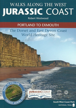
WALKS ALONG THE WEST JURASSIC COAST (PORTLAND to EXMOUTH
Robert Westwood (2018) ISBN 978-1-907701-14-6. 64 pages, full colour. A5 As befits this World heritage coast, the 17 spectacular walks have been selected for their geological interest. Many of the walks are circular and can be completed by the family in a few hours. The one-way walks can return using the good local transport along this coast. £4.95
EAST
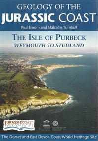
GEOLOGY OF THE JURASSIC COAST (THE ISLE OF PURBECK) – Weymouth to Studland. Paul Ensom and Malcolm Turnbull.
ISBN 978-1-907701-00-9 Jurassic Coast Trust 2011. £9.95
128 pages (A5). 190 illustrations. Full colour. A study of the remarkable geology and landforms of the eastern end of the Jurassic coast known as the Isle of Purbeck.

WALKS ALONG THE EAST JURASSIC COAST. (STUDLAND TO PORTLAND) Robert Westwood (2018). ISBN 978-1-907701-11-5. Jurassic Coast Trust. 64 pages. £4.95 (A5) Full colour illustrations, air photos and maps. The 16 walks in this guide cover the eastern part of the Jurassic Coast from Studland to Portland. The walks have been chosen to highlight particular aspects of the geology; taken together they outline the story of his part of the Jurassic Coast.
EXPLORING THE UNDERCLIFF
(The Axmouth to Lyme Regis National Nature Reserve) Written by Donald Campbell and edited by Prof. Denys Brunsden
ISBN 978-0- 9544845-2-5 Coastal Publishing 2006 £4.95
64 pages (A5). 120 photographs and illustrations (full colour). Introducing the flora and fauna, the fossils, the people and the history associated with this unique area between Axmouth and Lyme Regis, including an explanation of the geology and landscape of the coastal landslides.
THE ABOVE BOOK IS OUT OF PRINT AND PRESENTLY UNAVAILABLE
WILDLIFE OF THE JURASSIC COAST Bryan Edwards
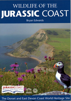
ISBN 978-0-9544845-3-8 Coastal Publishing 2008 £4.95
96 pages A5. 190 illustrations in full colour with extensive use of O.S. maps.
This is a exploration of a really special series of habitats with an integrated and well-illustrated guide to recognising plants and wild life on this unique coast. The geology of the Jurassic Coast has given rise to particularly diverse habitats and is home to a wide range of internationally important species, some of which are found nowhere else on Earth!
 BENEATH YOUR FEET (Landscape of Purbeck & Poole Bay cliffs)
 Dorset’s Important Geological & Geomorphological Sites Group (DIGS) 2005 £3.75
A5. 43 pages. 23 colour plates. 16 figures and maps.
Pocket folder containing five 8 page booklets covering the landscape of Purbeck and Poole Bay cliffs.
1. The Chalk Ridge: Corfe Castle to Ridgeway Hill. (9 km (6 mile) walk along bridleways, footpaths and minor roads)
2. The Chalk Ridge: Corfe Castle to Ulwell. (Whole route, 13km (8mile) but walk can be shortened using public transport).
3. Acton – Langton Maltravers – Dancing Ledge. (6.5km (4 mile) walk on footpaths and pavements around quarrying area).
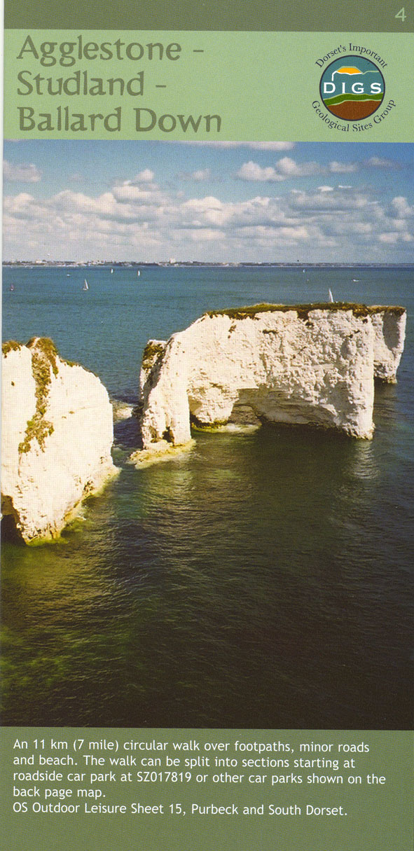
4. Agglestone – Studland – Ballard Down (11km (7 mile circular walk over footpaths, minor roads and beach)
5. Poole Bay Cliffs: Bournemouth Pier to Poole Head. (5km (3 mile) walk if returning along same route).